


Page 61 - KBHA BULLETIN 5
P. 61
58
Transport Plan. Further detailed consideration of the Boyes Drive Scheme was adjourned
pending the outcome of this study.
A further dimension was added in 1979 when the Department of Industries, which controlled
Kalk Bay Harbour, identified three requirements, one of which had direct connections with
the freeway construction, namely, possible harbour expansion and improved facilities for
fishing craft - in which case the spoil from the Trappies Kop tunnel would constitute valuable
material for the anticipated foreshore reclamation. The other requirements were controlled
access into the harbour via a road over rail bridge, plans for which had been on Council
books for some time (Figs. 3.29 & 3.30), and dedicated parking on the whole of the Point.
While none of these proposals has materialised the 1967 plan remains in force. It comprises a
split-level road running above Boyes Drive, connecting northwards across Westlake Golf Course
to the end of the Blue Route and southwards through the Trappies Kop Tunnel to the Fish Hoek
valley. In anticipation of its construction a number of perfectly sound houses on Godfrey Road
were demolished in the early 1970s. (Fig. 3.31.) However, the road over rail bridge into Kalk Bay
harbour was scrapped a few years ago.
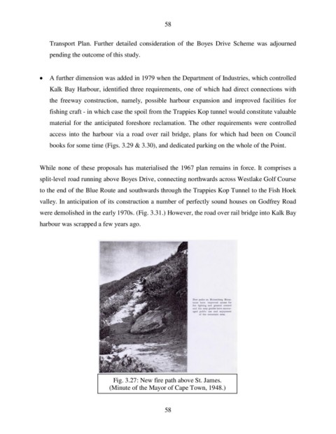
Fig. 3.27: New fire path above St. James.
(Minute of the Mayor of Cape Town, 1948.)
58

